


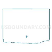
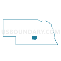
Precinct 10, Buffalo County, Nebraska
About
Outline

Summary
| Unique Area Identifier | 612474 |
| Name | Precinct 10 |
| County | Buffalo County |
| State | Nebraska |
| Area (square miles) | 0.58 |
| Land Area (square miles) | 0.58 |
| Water Area (square miles) | 0.00 |
| % of Land Area | 100.00 |
| % of Water Area | 0.00 |
| Latitude of the Internal Point | 40.72916760 |
| Longtitude of the Internal Point | -99.06650760 |
Maps

Graphs
Select a template below for downloading or customizing gragh for Precinct 10, Buffalo County, Nebraska


Neighbors
Neighoring Voting District (by Name) Neighboring Voting District on the Map
- 35 Precinct, Buffalo County, NE
- Center Precinct, Buffalo County, NE
- Precinct 11, Buffalo County, NE
- Riverdale Precinct, Buffalo County, NE
Top 10 Neighboring County Subdivision (by Population) Neighboring County Subdivision on the Map
- Kearney city, Buffalo County, NE (30,787)
- Riverdale township, Buffalo County, NE (2,193)
- Center township, Buffalo County, NE (877)